Building a reliable road network starts with understanding the ground it will rest on. Geotechnical data is crucial in the planning and construction phases, providing essential insights into soil composition, groundwater levels, and geological hazards. This information guides decision-making throughout the project, ensuring roads are stable, durable, and safe.
The Role of Geotechnical Data
Geotechnical data is indispensable for assessing a site's suitability for road construction. Engineers rely on it to determine the types of soil and rock present, their load-bearing capacities, and potential issues like soil erosion or landslides. This data is vital for designing a road's foundation and structure to endure the specific conditions of the site.
Soil and Rock Analysis
Understanding soil and rock properties is a cornerstone of road construction. Engineers employ techniques such as borehole drilling, soil sampling, and laboratory testing to gather data on soil texture, density, moisture content, and shear strength. These factors influence decisions about the type of foundation, drainage systems, and pavement materials needed to ensure the road's longevity and performance.
Groundwater Considerations
Groundwater levels can greatly affect road construction and long-term stability. High groundwater levels may lead to excess pore water pressure, which reduces soil strength and increases the risk of settlements or even road collapse. By incorporating groundwater data into the design phase, engineers can implement effective drainage solutions to mitigate these risks.
Integrating Data into Design and Construction
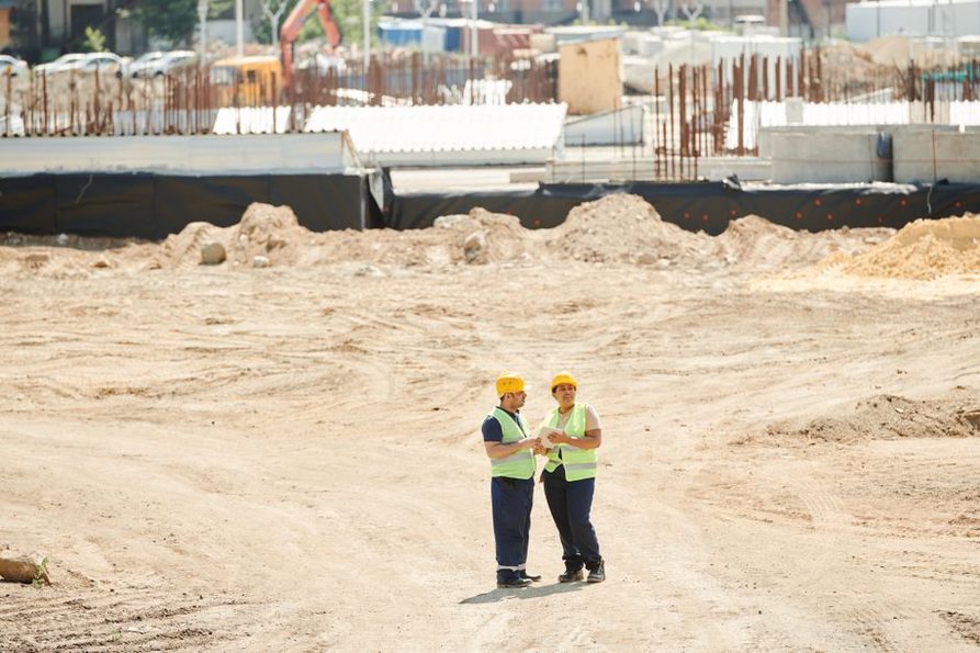
Incorporating geotechnical data into the design and construction process involves several important steps:
- Site Investigation: Conduct thorough site investigations to collect relevant geotechnical data, including soil borings and laboratory tests.
- Data Analysis: Analyze the collected data to understand the site's geological conditions and identify potential challenges and risks.
- Design Adaptation: Use the data to adjust the design of the road infrastructure, ensuring it fits the site's specific conditions.
- Continuous Monitoring: Implement monitoring systems to track changes in soil and groundwater conditions during and after construction.
Challenges and Solutions
Integrating geotechnical data is essential but not without challenges, such as data variability, unexpected site conditions, and complex data analysis. Engineers must use advanced technologies and methodologies to overcome these obstacles. Predictive modeling and simulation tools, for example, can help anticipate potential issues and refine design solutions.
The use of modern technologies in infrastructure monitoring provides real-time data on structural health and environmental conditions, enabling quick responses to challenges. For more insights, explore how enhancing transport infrastructure monitoring with advanced technology can aid in maintaining road safety and performance.
Case Example: Successful Integration
A successful example of geotechnical data integration is the construction of a highway in a landslide-prone region. Engineers conducted extensive geotechnical surveys to identify unstable slopes and used reinforced earth structures and effective drainage systems based on the data. This proactive approach ensured the highway's stability and reduced maintenance costs over time.
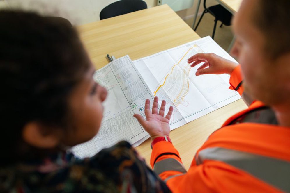
Integrating geotechnical data in road construction is not just a technical necessity; it is a strategic advantage. It allows engineers to design roads that are resilient, cost-effective, and environmentally sustainable. As demand for strong transport infrastructure grows, using geotechnical data will remain a fundamental part of successful road construction projects.