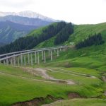
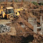
A rail alignment can avoid a wetland on the drawing and still alter it on the ground. An embankment may block shallow groundwater flow, changing water levels, drainage paths and habitat conditions beyond the land occupied by the works. Environmental assessment has to follow those physical connections, not stop at an inventory of features inside the project boundary.
Define the decision and the boundaries
Assessment is most useful while the alignment, footprint, construction method or maintenance strategy can still change. Begin with the decision at hand. During corridor selection, the question may be which route avoids difficult-to-replace habitat or extensive earthworks. At detailed design, it may be whether a culvert arrangement maintains flows in ordinary and high-water conditions. Each calls for a different level of evidence, and neither is helped by premature precision.
Set spatial boundaries around each potential impact rather than imposing one study area on every issue. Sediment from a bridge site can travel downstream; noise can reach receptors away from the right-of-way; material extraction and disposal may take place outside the construction corridor. Time matters too: short construction disturbances, decades of maintenance and eventual replacement can change how options compare.
The baseline should describe existing conditions and how they might change without the project. A degraded stream is not necessarily stable, and a planned drainage upgrade elsewhere may alter future flows. Record seasonal variation, recent disturbances and the reliability of the data. Where permits or environmental review procedures apply, the competent authority determines formal scope and documentation requirements. The engineering assessment must still make its assumptions clear.
Trace pressures to receptors
An impact pathway connects an activity to something that could be affected. Excavation exposes erodible soil; rainfall carries sediment into a stream; deposition affects aquatic habitat. Site topography or verified controls may break that pathway. If the habitat is sensitive during a particular season, timing can matter as much as the area disturbed.
For roads, railways, bridges and tunnels, investigate these pathways early:
- Land and ecology: habitat loss, fragmentation, disrupted movement routes, and effects of temporary work areas as well as permanent structures.
- Water: changes to runoff, floodplain storage, stream crossings, groundwater levels, sediment transport and the quality of discharged water.
- Air and noise: construction dust, plant emissions, operational emissions where relevant, vibration and sound at identified receptors.
- Materials and waste: virgin material demand, excavation spoil, potentially contaminated ground, demolition products and opportunities for verified reuse.
- Climate: emissions from materials, construction, operation and maintenance, alongside exposure to changing rainfall, heat or coastal conditions.
These categories overlap. A drainage change can affect vegetation; a borrow pit can disturb habitat and add haulage emissions. A pathway diagram or source–pathway–receptor register helps show those connections and what needs measuring.
Gather evidence at the scale of the decision
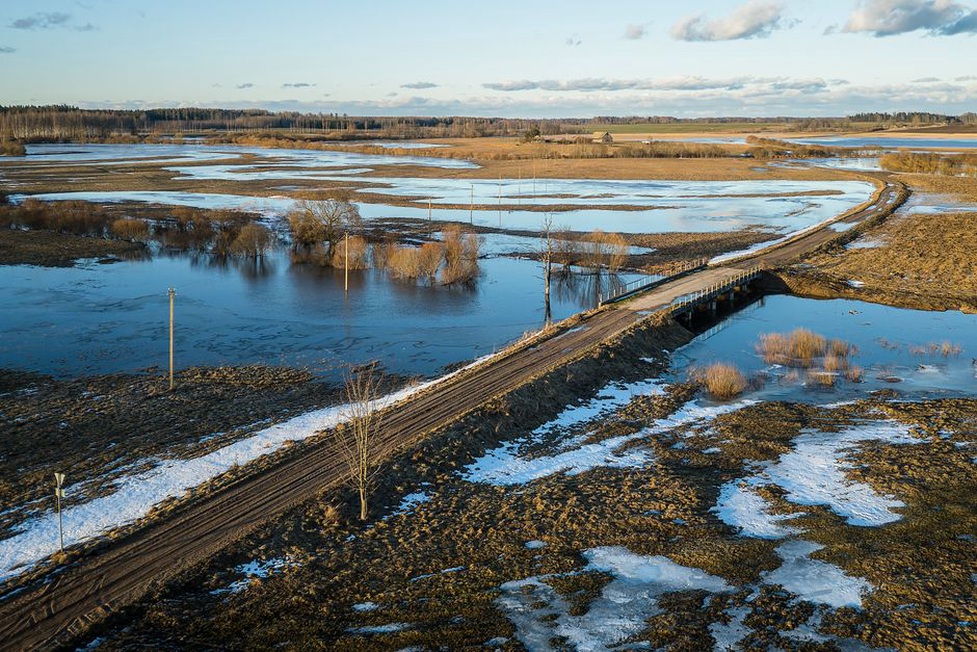
Desk studies can screen alignments using geological mapping, flood records, habitat inventories, aerial imagery and records of existing infrastructure. Fieldwork should then test assumptions that could change the decision. At a proposed river crossing, that might involve surveying channel geometry, observing floodplain flow routes and establishing ecological conditions at relevant times of year. For a tunnel, it might involve examining groundwater connectivity and potential settlement effects near sensitive buildings or vegetation.
Measurements need a reference condition. One turbidity reading cannot show whether construction has increased sediment loading; upstream conditions and variation during rainfall matter too. A short noise survey likewise needs to be read against the operating pattern and the periods when receptors are occupied. Say where and when observations were made, and what they cannot represent.
Models can help compare alternatives, but their resolution and input uncertainty limit what they can establish. A hydrological model may identify crossings likely to obstruct floodplain flow without predicting every local erosion point. A carbon estimate based on preliminary quantities may distinguish a material-intensive structure from a lower-material option, but decimal places do not make it accurate. Test whether the ranking holds when plausible assumptions change, such as haul distance, foundation quantities or groundwater conditions.
Compare options on consistent terms
Include a credible no-project case and feasible alternatives, rather than only minor variations of a preferred design. Options may differ in alignment, crossing form, construction access, use of existing assets or timing of replacement. Assess each against the same functional service requirement and life-cycle stages. Construction emissions for one option cannot meaningfully be compared with full-life emissions for another.
Keep impacts disaggregated before judging significance
A single score can hide a major local loss behind modest benefits elsewhere. Present material impacts separately, stating their magnitude, duration, reversibility, affected receptors and the confidence in the evidence. Significance requires judgment informed by applicable requirements and the sensitivity of the place; it does not emerge automatically from a spreadsheet.
For greenhouse gases, state the assessment boundary and main quantity assumptions. Cement, steel, asphalt, earthworks, transport, energy use, rehabilitation and replacement may all contribute, though their relative importance depends on the asset. Lower initial material demand may not mean lower life-cycle impact if an option needs frequent intervention. Reused material also needs demonstrated performance and quality controls; the discussion of recycled materials in pavement reconstruction shows why substitution alone is not a complete assessment.
Describe trade-offs plainly. A longer bridge may obstruct less floodplain flow but require more material. Retaining an existing structure may avoid demolition waste yet require disruptive strengthening. Show what is avoided, what is reduced and what remains rather than claiming an overall benefit the evidence cannot support.
Turn predicted impacts into testable controls
Apply mitigation in order: avoid impacts where feasible, minimize those that cannot be avoided, restore disturbed areas, and consider compensation for eligible residual effects under the applicable process. Avoidance matters especially where a receptor cannot readily be recreated, such as mature habitat or a sensitive groundwater-dependent system.
Connect each control to an impact pathway and a way to verify it. “Manage erosion” is too vague to audit. A workable commitment identifies exposed surfaces and drainage routes, who is responsible, inspection triggers such as significant rainfall, and what happens if sediment escapes the work area. For a groundwater-sensitive excavation, monitoring should distinguish expected seasonal movement from changes potentially associated with the works. The assessment need not settle the design before site investigation, but it should state what the design must demonstrate.
Residual impacts are those left after realistic controls. A proposed measure alone does not make an impact negligible: its effectiveness may depend on installation, maintenance and weather. Where failure could have substantial consequences, the project needs a contingency response as well as routine monitoring.
Account for cumulative effects and uncertainty
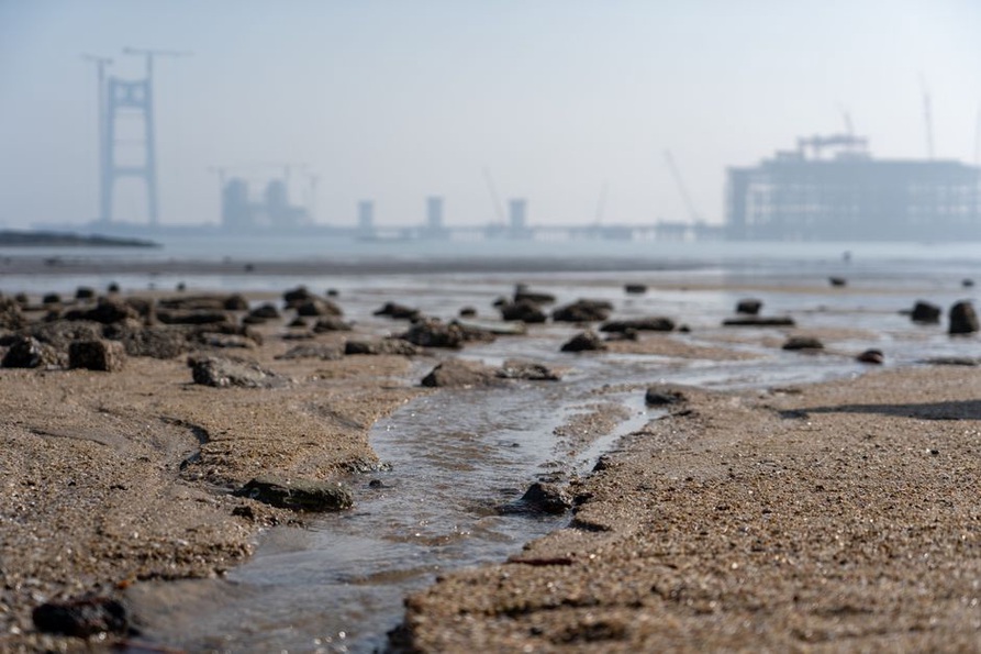
Infrastructure rarely operates in isolation. Several crossings in one catchment may collectively restrict floodplain flow, while separate construction packages may disturb the same watercourse in successive seasons. Consider other existing, approved or reasonably foreseeable activities where information is available. Specify the shared receptor and time period; adding unrelated effects with no common pathway does not help explain cumulative risk.
Tie uncertainty to decisions. An unknown groundwater connection may call for further investigation before an excavation approach is chosen. For a minor, reversible construction effect, monitoring with a clear response threshold may be proportionate. Record assumptions, evidence gaps and who will resolve them, or unresolved risk may simply pass into construction.
At a stream crossing, that means establishing upstream and downstream monitoring locations before work starts, recording rainfall and flow conditions when samples are taken, and naming who can pause the relevant activity if an agreed trigger is exceeded. The site team can then detect a water-quality change and act on it.