A few millimetres of settlement beneath a city street may be routine seasonal movement. The same displacement over a short distance, however, can crack a utility connection, disturb rail geometry, or strain a buried structure. The engineering significance of ground movement depends on its location, rate, spatial gradient, timing, and relationship to nearby assets—not displacement alone.
Urban ground is rarely a uniform natural mass. It may include variable fill, former foundations, tunnels, utility trenches, retaining walls, groundwater-control systems, and strata altered by decades of loading and redevelopment. Monitoring should therefore be based on credible ground processes and the consequences for affected assets, rather than selected from a sensor catalogue.
What constitutes ground movement?
Ground movement includes vertical, horizontal, and three-dimensional changes in the position or deformation of soil and rock. In built-up areas, the main forms include:
- Settlement caused by consolidation of compressible strata, deterioration of fill, dewatering, loading from new construction, or erosion associated with leaks.
- Heave associated with excavation unloading, swelling clay, groundwater recovery, frost action in suitable climates, or upward pressure beneath slabs and tunnels.
- Lateral displacement near excavations, embankments, retaining systems, riverbanks, slopes, and deep foundations.
- Differential movement, in which adjacent points move by different amounts. This often governs damage because structures respond to strain and rotation rather than uniform translation.
- Surface distortion expressed as tilt, curvature, or a settlement trough above underground works.
Reliable interpretation separates long-term regional movement from local change. Broad subsidence across a district may be related to aquifer withdrawal or geological compaction. A sharp, accelerating depression beside a water main is more consistent with a local defect. Neither condition should be diagnosed from one method or an isolated reading.
Why urban monitoring requires an asset-led approach
Ground movement is inseparable from the built environment. Excavation support, groundwater conditions, traffic loading, demolition, utility repairs, and the response of adjacent foundations can all influence the observed pattern. Monitoring objectives should support decisions: checking construction assumptions, identifying conditions that require investigation, protecting an operating railway, or determining whether movement remains within an agreed performance envelope.
The objective determines instrument locations. A settlement point outside the affected area may establish a reference trend, but it cannot show whether a retaining wall is rotating. Wall inclinometers, in turn, cannot show on their own whether displacement extends beyond an excavation. A useful layout connects the potential source, the ground pathway, and the receptor:
- Source: excavation, pumping well, leak, tunnel advance, surcharge, or slope instability.
- Pathway: soil layers, faults, backfill zones, permeable channels, or interfaces around existing structures.
- Receptor: track, pavement, building, bridge approach, utility, tunnel lining, or retaining wall.
This approach aligns with broader geotechnical risk assessment for transport infrastructure, in which credible mechanisms and likely consequences direct investigation and control measures. Monitoring does not replace ground investigation or structural assessment; it tests the assumptions linking them.
Measurement methods and what they reveal
Surface surveying and levelling
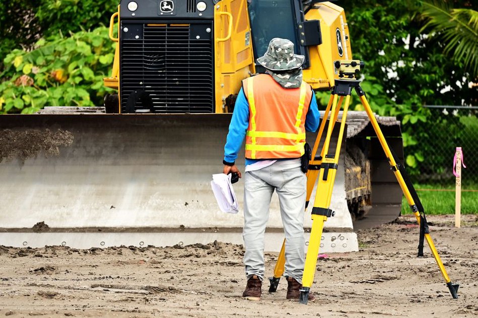
Precise levelling remains useful for detecting vertical movement at selected points, particularly along rail corridors, pavements, façades, and structures sensitive to settlement. Total stations can provide repeated three-dimensional observations of prisms on walls, tracks, retaining systems, and surface control points. Automated total stations are suitable for frequent readings where a clear line of sight can be maintained.
Survey results depend on stable reference benchmarks. A benchmark assumed to be fixed may itself move during regional settlement or under construction influence. Reference networks should be checked for internal consistency and, where appropriate, tied to points outside the anticipated zone of influence.
Satellite radar interferometry
Interferometric synthetic aperture radar, commonly known as InSAR, uses repeated satellite observations to identify gradual surface deformation over wide areas. It can help screen districts, transport corridors, reclaimed land, and areas of suspected regional subsidence. Its particular value lies in showing spatial patterns and historical trends that point-based monitoring may not capture.
InSAR also has limits. Measurements are mainly along the satellite line of sight; coherence may be poor over changing surfaces or dense vegetation; and atmospheric conditions and building geometry can affect interpretation. It complements ground-based measurement rather than replacing it where construction decisions depend on local, frequent observations.
Subsurface instruments
Inclinometers measure lateral deformation along a borehole and are widely used to assess movement behind retaining walls, within embankments, and near excavations. Shape arrays and in-place inclinometers can provide continuous or frequent readings where a rapid response is needed. Extensometers measure deformation at depth and can help distinguish shallow settlement from compression in deeper strata.
Piezometers measure pore-water pressure, which strongly affects effective stress and consolidation. They do not measure movement directly, but their trends can help explain settlement, heave, or instability. A sustained fall in pore pressure near a pumping operation, for example, may precede measurable settlement in compressible deposits. Monitoring water levels alone is not equivalent to measuring pore pressure in every geological setting: instrument depth and response zone are important.
Structural and operational observations
Crack gauges, tiltmeters, joint meters, strain sensors, track-geometry surveys, and pavement condition observations show how ground movement affects an asset. These measurements should be assessed alongside geotechnical data. Surface settlement that appears modest may still be operationally significant if it causes local track twist or differential rotation at a bridge approach.
| Monitoring need | Common methods | Key interpretation point |
|---|---|---|
| Wide-area subsidence screening | InSAR, GNSS, repeat levelling | Distinguish regional trends from local anomalies |
| Excavation-induced lateral movement | Inclinometers, prisms, total stations | Compare the displacement profile with the construction stage |
| Settlement above tunnels or utilities | Surface arrays, levelling, InSAR | Assess trough shape and differential movement |
| Groundwater-related deformation | Piezometers with settlement instruments | Correlate pressure changes and displacement with care |
Designing a defensible monitoring programme
A monitoring plan is most useful when prepared before the activity likely to cause movement. Baseline observations establish natural variability, survey repeatability, and pre-existing trends. A short baseline can mislead: clay soils may undergo seasonal shrink-swell cycles, groundwater can fluctuate with rainfall or pumping, and temperature may affect exposed instruments and structures.
The following sequence supports a practical programme:
- Develop a conceptual ground model. Map strata, groundwater regimes, existing basements and tunnels, fills, utilities, and foundation types. State uncertainties clearly.
- Define likely mechanisms. Link each mechanism to measurable indicators, such as falling pore pressure, wall rotation, settlement rate, or a changing surface gradient.
- Select locations and depths. Position instruments to capture the anticipated zone of influence and unaffected reference conditions. Install subsurface instruments in strata relevant to the expected deformation.
- Set observation frequency. Increase frequency during excavation, changes in dewatering, tunnelling, heavy loading, or unusual rainfall. Lower frequencies may be suitable during stable operational periods.
- Establish data management and review responsibilities. Define who validates data, reviews trends, authorises actions, and communicates findings to construction and asset teams.
- Use staged response criteria. Criteria should account for baseline behaviour, prediction uncertainty, instrument precision, and asset tolerance. They require project-specific engineering approval.
Thresholds are not automatic proof of failure. An exceedance may arise from a damaged prism, a disturbed borehole casing, a surveying error, or a genuine change requiring urgent action. The response should include prompt verification, comparison with nearby instruments, inspection of the affected asset, and reassessment of the underlying mechanism.

Data quality: the difference between monitoring and data collection
Automated systems can produce large volumes of measurements, yet volume alone does not improve safety. Each reading needs traceability: instrument type and serial number, installation details, calibration status, coordinate system, survey datum, time stamp, relevant environmental conditions, and processing method. Manual observations also require documented procedures so different teams obtain comparable results.
Quality assurance starts at installation. Poorly seated settlement plates, bent inclinometer casings, unstable benchmarks, obstructed prisms, and poorly protected cables can create apparent trends unrelated to ground behaviour. Field checks should include visual inspection, repeat readings, comparison with redundant instruments, and investigation of implausible step changes.
Trend analysis should consider rate and shape as well as magnitude. An accelerating settlement rate near a deep excavation may require attention before total displacement becomes large. Broad, steady movement may be less urgent, although it can still affect long-term drainage gradients and utility performance. Plots should include construction events, pumping changes, relevant rainfall, and traffic or operational restrictions so engineers can test cause-and-effect hypotheses.
Frequent interpretation errors
Several errors recur on urban projects. One is treating all movement as settlement when lateral displacement or rotation is the governing mechanism. Another is relying on a single surface point to represent a complex deformation field. Sparse monitoring may miss sharp gradients near excavation edges, utility trenches, or boundaries between fill and natural ground.
It is also risky to compare values from incompatible datums or instruments without considering uncertainty. A satellite-derived regional trend, a local total-station survey, and an inclinometer profile may all be valid, yet each answers a different question. Their integration requires consistent coordinates, aligned time records, and a clear understanding of what each method physically measures.
Construction records matter just as much. Without dates for excavation lifts, strut installation, dewatering adjustments, grouting, utility incidents, or traffic changes, analysts may mistake a normal construction response for an unexplained anomaly. A small but persistent departure from predicted behaviour can also be overlooked when records are not reviewed alongside monitoring data.
Connecting monitoring to urban transport resilience
Roads and railways are especially sensitive to differential ground movement at interfaces: bridge approaches, culvert transitions, retaining-wall backfills, station boxes, level crossings, and areas subject to repeated utility work. Surface distress may be the first visible symptom, while the cause lies beneath the pavement or beyond the apparent damaged area. Monitoring should extend far enough beyond the symptom to determine whether the problem is local, progressive, or part of a broader groundwater response.
Where compaction quality is uncertain in recently placed fills or reinstated trenches, monitoring becomes more useful when considered alongside construction records and acceptance testing. The mechanisms and verification methods discussed in soil compaction for transport infrastructure help explain why variable density may later appear as uneven settlement under traffic and environmental loading.
For an excavation beside an operating rail line, a practical report may place daily wall displacement, piezometric level, track geometry, and excavation depth on a single time-aligned chart. If the slope of wall movement changes immediately after a support modification while pore pressure remains stable, the next engineering review can examine structural restraint and construction sequence before attributing the change to groundwater.