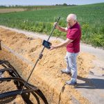
A road embankment can settle by the predicted amount and still become difficult to use where it meets a bridge. The problem is often a sharp change in movement over a short distance, rather than excessive settlement along the whole alignment. Hazard assessment therefore needs to ask how ground behavior could interrupt traffic, damage an asset, or restrict construction—not just identify unfavorable soils.
Along a transport corridor, potential hazards include slope instability, compressible or collapsible ground, erosion and scour, groundwater-related loss of strength, seismic ground deformation, and movement caused by excavation or loading. Location changes their significance. A slowly moving slope beneath a remote cutting poses a different operational problem from a smaller movement at a tunnel portal or bridge approach.
Start with the ground model, not a hazard label
A useful ground model sets out the sequence and geometry of soil and rock, groundwater conditions, and landforms, including how they may change along the route. It is an interpretation, not a borehole log assumed to apply indefinitely between investigation points. Geological mapping, terrain models, historical records, site inspection, and subsurface investigation each help constrain it.
Early screening should separate observed evidence from plausible mechanisms that remain unconfirmed. An old landslide deposit shows that movement occurred, but its current activity and potential triggers need separate assessment. Soft alluvium points to possible settlement; its significance depends on depth, drainage, loading sequence, and the movement the asset can tolerate.
Evidence gaps matter especially on linear projects. An alignment may cross several geological units within a short distance despite having few investigation locations. Plotting observations against chainage, landform, structures, and proposed earthworks can reveal transitions hidden by a general site description. Springs, past repairs, and maintenance restrictions may also point to parts of the ground model that need testing.
Translate mechanisms into project consequences
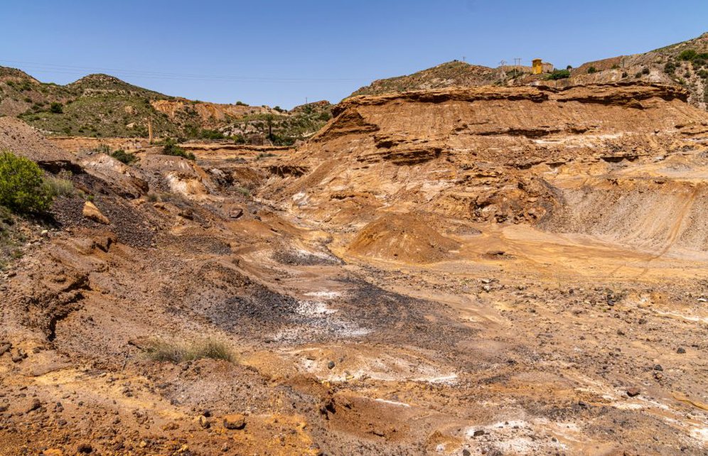
Hazard identification helps decisions when it links a trigger to a ground response and an affected asset. Intense rainfall may raise pore-water pressure in a slope, reducing shear resistance and allowing movement toward a railway. At a bridge, riverbed erosion may remove support around a foundation. The label “unstable ground” captures neither sequence.
Different mechanisms call for different evidence:
- Slope movement: landform shape, discontinuities, weak layers, groundwater, signs of previous displacement, and likely movement direction.
- Settlement or heave: compressible or expansive layers, changes in effective stress or moisture, and movement gradients at structures and track transitions.
- Erosion and scour: flow paths, erodible materials, exposed foundations, and the likelihood of progressive loss during floods.
- Seismic ground effects: shaking-induced instability, liquefaction susceptibility, lateral spreading, and permanent displacement where relevant to the site.
- Construction-induced movement: excavation, dewatering, fill placement, vibration, or temporary drainage changes that affect ground beyond the permanent works footprint.
Mechanisms can also combine. A blocked drain may raise groundwater behind a cutting, while later erosion at its toe removes restraint. Treating those hazards separately could miss the sequence. The assessment should also distinguish gradual deterioration, which may leave time for inspection, from rapid loss of support.
Match investigation to the decision
Investigation is most valuable where the findings could change a route choice, construction method, foundation concept, risk allowance, or monitoring requirement. A desk study and walkover can identify candidate hazard zones, but critical strata generally need direct sampling and testing. Geophysics can help trace boundaries between investigation points when checked against direct evidence.
Organize the investigation around the uncertainties that matter:
- Define the asset or activity at risk and the ground behavior that could affect it.
- Record what is known, where each observation came from, and any competing interpretations.
- Identify measurements or tests that could distinguish between those interpretations.
- Locate investigation points to examine transitions and potential failure surfaces, rather than relying only on regular spacing.
- Update the ground model and record uncertainty that still matters to design or construction.
Groundwater warrants particular care. A reading describes conditions at one time and place; it may not represent a seasonal maximum or the response to prolonged rain. Where a decision depends on water pressure, the observation period and instrument response must fit the question. Laboratory strength and compressibility results likewise need to be read in light of sample disturbance and expected field conditions.
Account for uncertainty explicitly
A precise calculation cannot make an uncertain ground model precise. A weak layer may lie between boreholes, or a seemingly continuous rock surface may conceal a weathered channel. Sensitivity checks can show whether such variations would change the decision. If a design works only under an optimistic interpretation, further investigation or another way to address the risk may be needed.
For rare events, scenarios may be more useful than one predicted outcome. Scenario selection should reflect the asset’s role, the consequences of interruption, and whether the proposed trigger is credible. Assumptions should be visible to reviewers without implying that the timing of an uncertain event can be predicted exactly.
Assess risk across construction and operation
A stable completed embankment says little about the safety of temporary fill stages, excavations, or drainage diversions. Construction sequencing can create short-lived conditions with their own failure mechanisms. Risk records should identify when a hazard applies, who could spot warning signs, and which activities increase exposure.
Consequences in service extend beyond structural failure. Modest differential settlement may demand repeated track maintenance. A rockfall-prone cutting may close a route even when protective works prevent impact damage. Assessment should consider inspection access, diversion routes, repair time, and whether deterioration is likely to be detected before service is affected. The detailed treatment of settlement and drainage at track transitions belongs to railway track foundation design; a corridor-wide assessment first needs to flag those transitions as places where movement has unusually high consequences.
Carry findings into field decisions
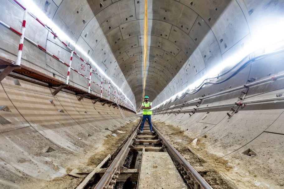
A geotechnical risk register is useful only when its entries can be checked and acted on. Each significant entry should identify the mechanism and location, the evidence and remaining uncertainty, the possible consequence, and the planned response. That response might be further investigation, a change to the works, inspection during excavation, or monitoring linked to a decision. “Monitor the slope” is incomplete without a defined movement of concern, a way to measure it, and an action when a trigger is reached.
Compare construction observations with the anticipated ground model. Unexpected seepage, a deeper weak layer, or a different rock fracture pattern may undermine its assumptions before any movement occurs. Those observations need a clear route to an engineer authorized to reassess the work.
At handover, keep the interpreted ground model with the factual records and document departures found during construction. For a cutting with a mapped seepage zone, the operating record should locate it by chainage, note the water conditions observed, and identify changes—such as new discharge or fresh cracking—that require engineering review.